


January 16, 2026 -Washington Co., Wi – Might want to add some extra time to the morning commute as light snowfall is making roads a little dicey this morning. How are the roads in your area?
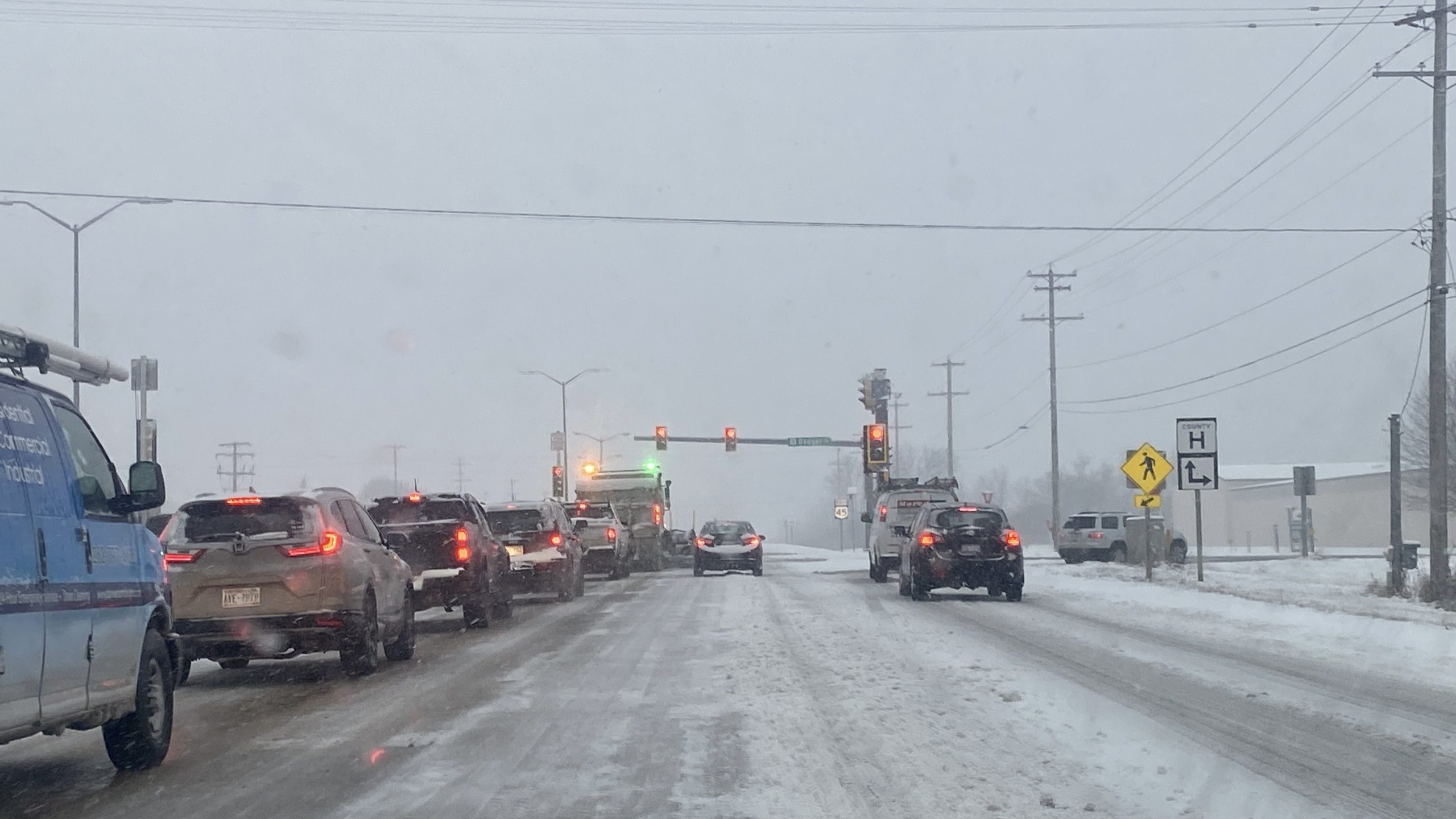

Plows and salters are out as a mix of light snow with some freezing drizzle mixed in at times runs through this afternoon into Saturday.
According to the National Weather Service impacts to travel will be possible with any of this winter activity, especially for this evening and the Friday morning commutes.
- Today : Light glaze of ice will be possible, especially into the early morning hours Friday.
- Friday Morning: Another round of light snow with snow rates of 1/4 – 1/2 in/hr is expected to develop and move through southern WI through Friday morning with an additional 0.5-1 inch of snow.
- Friday Afternoon/Evening: May see a brief lull in snowfall activity late Friday morning/early afternoon, but additional off and on scattered snow showers will be possible Friday afternoon/evening. Cannot rule out localized, brief bursts of intense snow showers with low visibility and higher snow rates.
- Overnight Friday into Saturday: Off and on scattered snow shower chances continue into Saturday.
What has changed?
- Most likely period for freezing drizzle (30% chance) will impact the Friday morning commute.
- 1-2 inches of snow accumulation and pockets of locally higher amounts through Friday evening.