April 17, 2026 – Washington Co., Wi – As forecast another round of storms on tap Washington County and much of southeastern Wisconsin.
According to the National Weather Service all hazards of severe weather possible from now through this evening. Tornadoes, a few may be strong (EF-2), very large hail, damaging winds and flash flooding will all be possible.
The focus continues to be on the first round of storms which are currently in SW WI and will be tracking east.

However, there’s an increasing potential that there could be a second round of strong/severe storms after a break from the first storms.
What has changed?
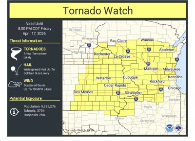
Tornado Watch has been issued for all of southern Wisconsin until 8 p.m.
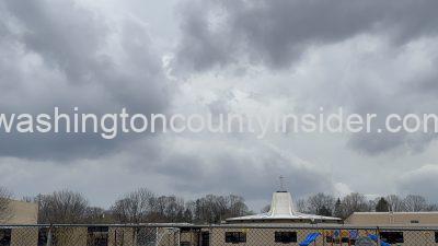
How are the skies in your neck of the woods?