


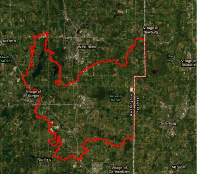
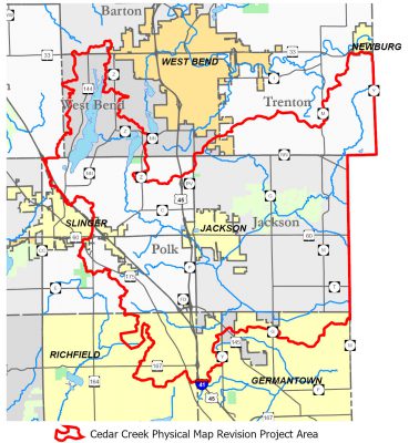
Washington Co., WI – Washington County is hosting an open house for property owners on new floodplain mapping changes coming for the Cedar Creek/ Cedar Lake area. There are over 2,255 parcels within the Cedar Creek/Cedar Lake floodplain. Of these, approximately 78% will see a net decrease in the total area of floodplain on their property or a minimal change (+/- .1 acres).
The updates were completed in part to eliminate unstudied floodplain. Areas of a studied floodplain that are designated flood fringe or flood storage may provide a property owner development options that were not available in an unstudied floodplain.
Impacted property owners should look for a postcard this week inviting them to attend the open house on January 9 from 5 p.m. to 7 p.m. at the Washington County Fair Park.
The postcards will generally indicate the increase or decrease in floodplain that a property might see but does not indicate the locations of the floodplain. Interested property owners can click HERE to view the current and new maps as it relates to locations of the floodplain on their properties.
The new maps reportedly reflect better data. Property owners should be aware of the potential impact and are encouraged to attend the open house if they have questions or concerns.