August 24, 2020 – Washington Co., WI – Some much-needed rain is expected Monday night into Tuesday morning in Washington County.
There were low rumbles of thunder and some precipitation in Kewaskum and West Bend around 11:45 p.m. Monday.
According to the National Weather Service “showers and thunderstorms likely, mainly between 2 a.m. and 5 a.m. Mostly cloudy, with a low around 68. West wind around 5 mph becoming north after midnight. Chance of precipitation is 70%. New rainfall amounts between a half and three quarters of an inch possible.”

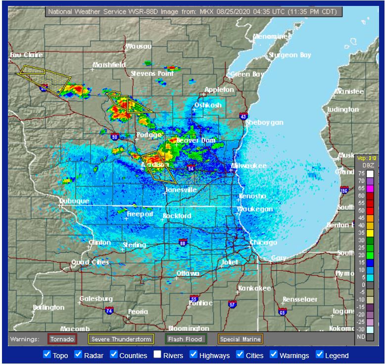
The National Weather Service also issued a hazardous weather outlook for Washington County and neighboring counties including Dodge, Ozaukee, Fond du Lac and Sheboygan.
Scattered thunderstorms, some of which may be strong to severe, are forecast to move into the area from
the northwest overnight.
Large hail to one inch and damaging winds to 60 MPH will be the main hazards. The most likely areas to see
storms will be generally northeast of a Wisconsin Dells to Milwaukee line.

DAYS TWO THROUGH SEVEN...Tuesday through Monday

Thunderstorms may linger into Tuesday morning before ending.

There are small chances for thunderstorms toward the Sheboygan area Tuesday afternoon and night.
Tuesday – A 30-percent chance of showers and thunderstorms, mainly before 9 a.m. Partly sunny, with a high near 83. Southeast wind around 5 mph becoming west in the morning.
Tuesday Night – A 20-percent chance of showers and thunderstorms before 1 a.m. Partly cloudy, with a low around 65. East wind around 5 mph.